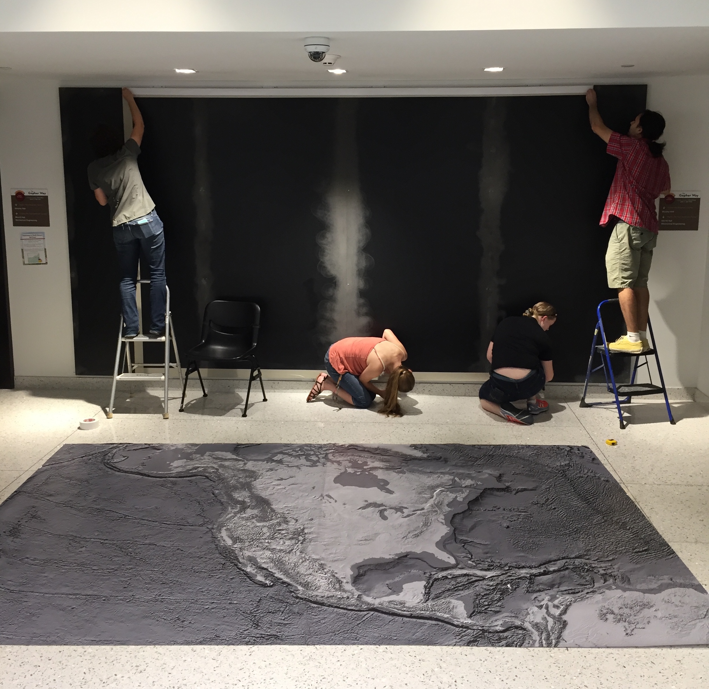
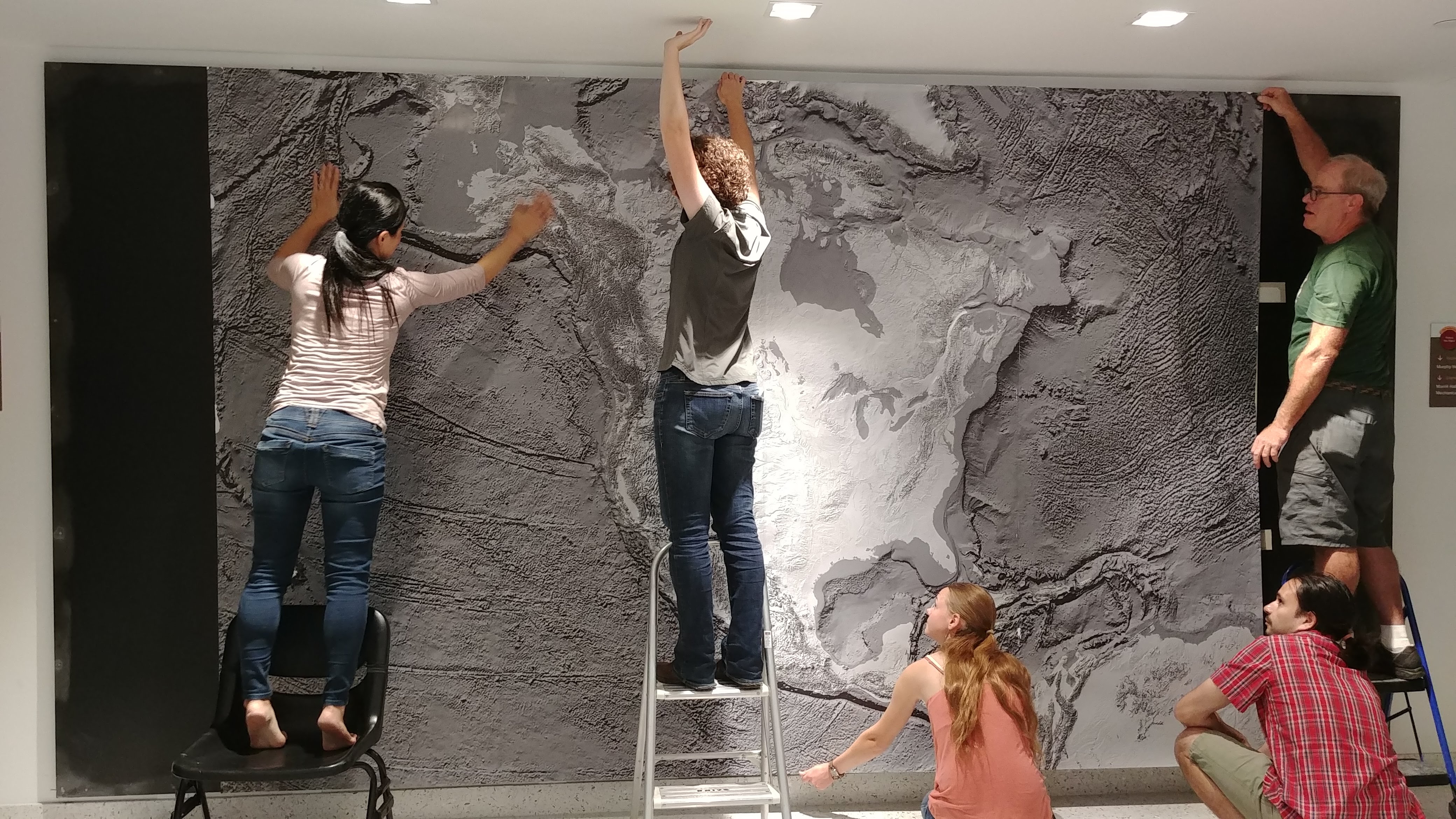
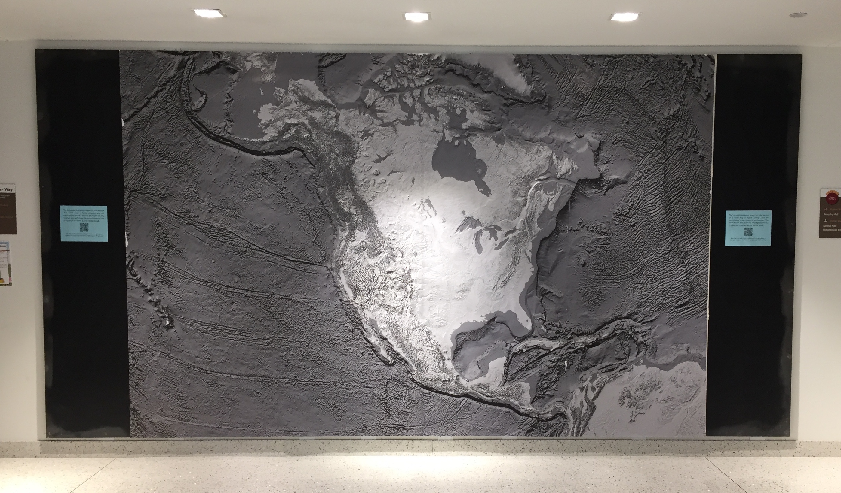
We are currently creating a large (15’ by 7’8”) high-resolution relief map of North America and the surrounding ocean basins to be display on the wall between the elevators on the main floor. The final version is expected to arrive Fall 2019.
A trial version of the relief map was put up by Scott Alexander, Lindsey Kenyon, Fernando Medina, Natalie Raia, Jen Taylor, and Ikuko Wada on September 5, 2018.
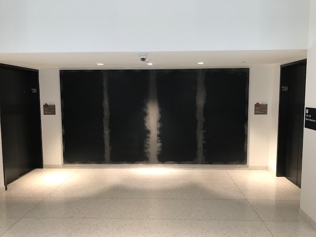
A platform for the relief map was installed on August 19, 2018.
Updated on July 1, 2019 by GS